Millennials are slowly crossing the 40-year mark, and CNBC took an interest in the travel habits of these folks who have largely shaped today’s travel industry.
By the way, Millennials are usually referred to as people who were born between 1981 and 1996. You can also find the wording “Generation Y” or “Generation Next”.
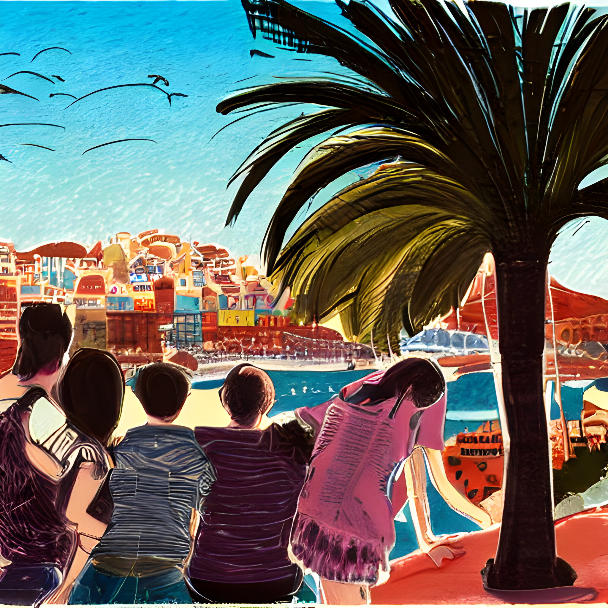
✈️ Generation Y loves to travel
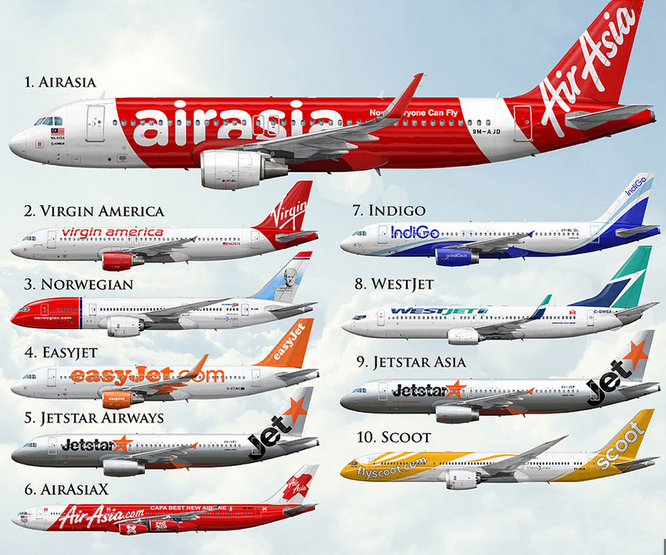
According to the research company Morning Consult, Millennials travel more than baby boomers (born 1946-1964) or Generation X (born 1965-1980). This is not surprising for our latitudes, but in the West there are a lot of resources in the hands of baby boomers.
The statistics for the States are as follows: three or more domestic flights in the last year were taken by 18% of millennials, 10% of X’s, and only 6% of baby boomers.
Interestingly, travel is perceived by millennials as a right rather than a privilege. “For them, the travel experience is part of their identity, not a tick on their wish list,” notes analyst Lindsay Roschke.
💲 Spending but not splurging
Millennials put off everything in life, from buying their first car to getting married, because of the need to “save up. However, when faced with a choice: to put a hundred or two in the piggy bank or spend it on a trip, they often choose the latter. Vacation ranks pretty high on their list of priorities, which explains their willingness to invest in it.
That said, according to the insurance company InsureMyTrip, millennials don’t exactly travel in the “last time” style. They generally spend more on tickets than other generations, but they look for economy options on the spot and optimize their travel budget in every way possible.
So it turns out that where an American baby boomer will shell out $6,126 for a trip, a millennial will spend $4,141.
Source